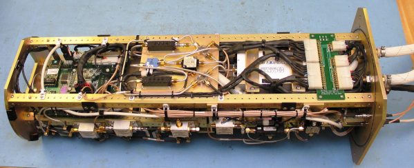
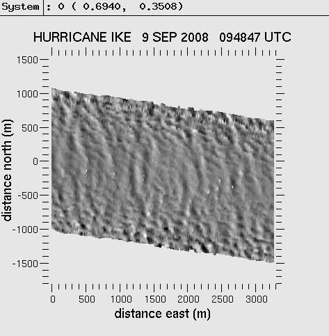
Wide Swath Radar Altimeter (WSRA)
Developed through the NOAA SBIR program, the WSRA is a digital beamforming radar altimeter that produces a strip map of ocean surface topography in hurricanes. WSRA generates 80 simultaneous beams scanning +/-30 degrees, with a total swath width of approximately 3 km. The strip maps are processed into ocean wave spectra, from which the dominant wave height and wave direction are derived.
WSRA is currently flown on the NASA-P3 Hurricane Hunter aircraft and reports estimates of ocean wave height and direction in real time to the National Hurricane Center.